Boston Car-Free Living: Neighborhoods That Fit You
May 7, 2026
May 7, 2026
If you’re thinking about living in Boston without a car, the good news is simple: you can actually do it here. Boston stands out as one of the few large U.S. cities where daily life can work well on foot, by train, by bus, or by bike. If you want to cut transportation costs, skip parking stress, or choose a neighborhood where errands feel easier, this guide will help you compare your best options and understand the tradeoffs. Let’s dive in.
Boston already has a strong foundation for car-free living. In 2025, 34.6% of households had no vehicle, 24.5% of resident workers used public transit to get to work, and 14.9% walked. The Boston Public Health Commission also describes Boston as the third most walkable large city in the U.S. and Canada, with a Walk Score of 83.
That daily convenience is not just about commuting. Boston has 240 grocery stores, 3,115 licensed food spots, and more than 55 miles of bicycle trails. The MBTA rapid transit system includes the Blue, Green, Orange, Red, and Silver lines, and Bluebikes adds more than 5,300 bikes and 550 stations across 13 municipalities.
For you as a buyer or renter, that means the question usually is not whether you can live without a car in Boston. The better question is which neighborhood gives you the right mix of walkability, transit access, errands, and budget.
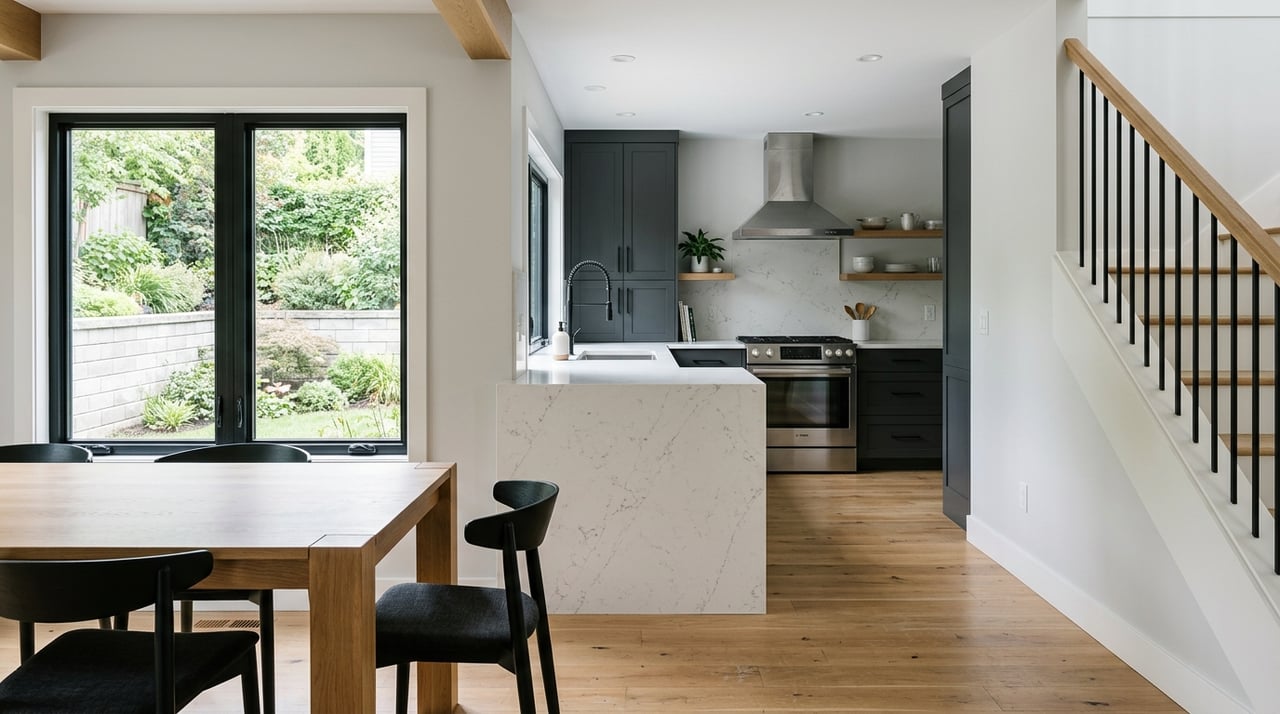
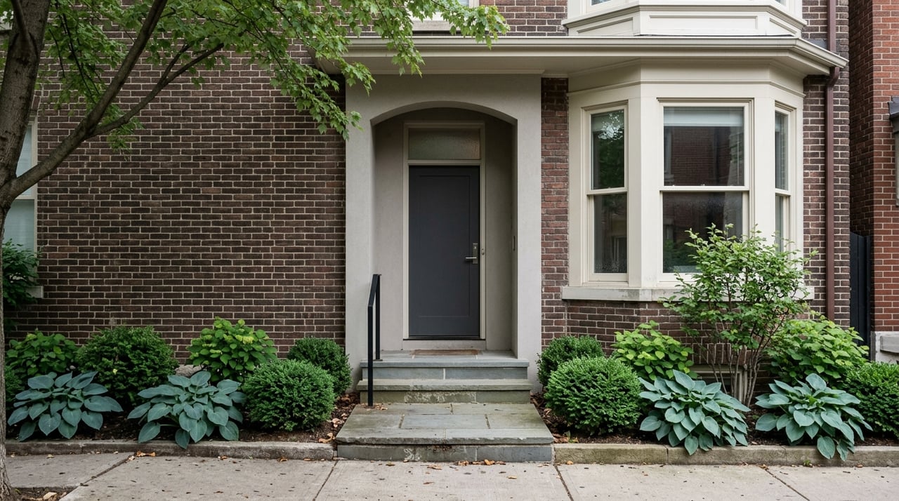
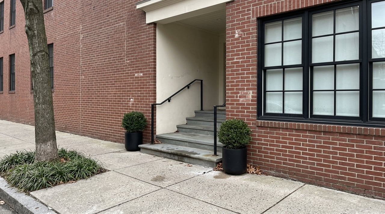
Beacon Hill and Back Bay are classic choices if you want a walk-first lifestyle in the center of the city. Beacon Hill benefits from narrow streets, short blocks, and easy access to Boston Common, the Public Garden, the Esplanade, and Charles Street. Back Bay adds major retail, job access, and strong transit connections, including Back Bay Station.
These neighborhoods also back up their reputation with commuting data. Boston’s commute profile shows 54.4% of Beacon Hill workers commute by walk or bike, while 34.0% of Back Bay workers do the same. Another 23.7% of Back Bay commuters use public transit.
The tradeoff is price. These areas are among Boston’s most expensive for renters and buyers, so they tend to work best if your top priority is being in the middle of everything and your budget can support it.
If your goal is to run most errands on foot, these neighborhoods deserve a close look. Downtown and Chinatown offer some of the strongest day-to-day convenience in the city, with dense retail, restaurants, and major transit access. South Station is a major advantage in Chinatown, while Downtown includes a large employment core and a broad mix of housing.
The North End is also highly practical for local living thanks to its compact street network and active commercial corridors along Hanover and Salem Streets. The West End gives you a quieter residential feel while still keeping Downtown, Beacon Hill, the Esplanade, and even Cambridge within reach.
The commute data is strong here too. Downtown is 53.7% walk or bike, the North End is 51.0%, and the West End is 46.5%. If you want a true urban lifestyle where leaving the neighborhood is optional on many days, this group is hard to beat.
These neighborhoods often hit a useful middle ground. You still get strong transit access and walkability, but with a bit more housing variety than some of the most expensive core neighborhoods. That can make them appealing if you want central access without paying top-tier Back Bay pricing.
The South End benefits from the Southwest Corridor Path and active commercial streets along Tremont and Washington. Fenway connects Downtown with Allston and Brighton, and the neighborhood continues to build out bike and pedestrian connections, including the Fenway Path project linking the Emerald Necklace to Lansdowne Station. Mission Hill stands out for practical errands, especially around Brigham Circle, where a major grocery store gives you a reliable day-to-day anchor.
Boston’s commute profile shows Fenway at 48.8% walk or bike and 26.9% transit. South End comes in at 31.9% walk or bike and 31.2% transit, while Mission Hill is 33.7% walk or bike and 37.3% transit. For many buyers and renters, these numbers point to neighborhoods where going car-free is realistic without feeling isolated.
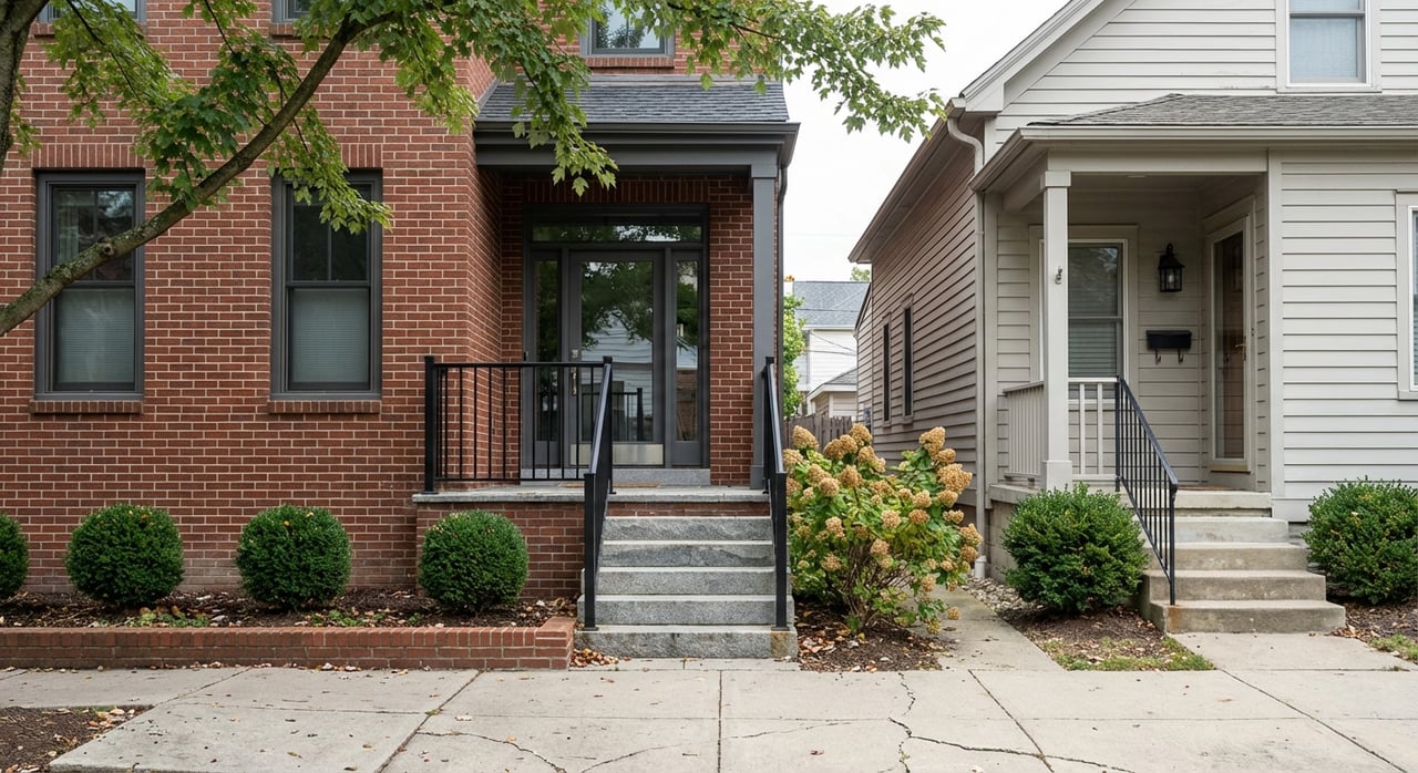
If you want better value while still living car-light or car-free, this is where the conversation gets interesting. These neighborhoods sit a little farther from the traditional core, but they still offer strong transit or bike connections and solid commercial corridors for daily errands.
Jamaica Plain is Boston’s strongest biking neighborhood by commuting share, with 6% of residents biking to work. Forest Hills serves as a major transit hub, and the Southwest Corridor helps support daily bike and walking trips. East Boston is another strong option because it has five Blue Line stops, MBTA ferries, the East Boston Greenway, and 13 Bluebikes stations, 11 of them year-round.
Allston and Brighton are often more budget-friendly than the central core, especially near the Green Line and the commercial corridors on Commonwealth, Brighton, and Harvard Avenues. Brighton also includes practical neighborhood centers like Brighton Center, Cleveland Circle, and Oak Square, which matter if you want routine errands close to home rather than just a nearby transit stop.
In Boston, car-free convenience usually comes with a premium. The most central, walk-first neighborhoods tend to have higher rents and purchase prices, while neighborhoods a bit farther out often offer a more manageable entry point.
Boston’s 2025 city profile puts the median asking rent for a market-rate two-bedroom at $3,200 citywide. For newly rented apartments, average monthly rents were reported at $3,900 in Back Bay, $3,916 in the West End, $3,829 in the South End, $3,576 in Chinatown, and $3,380 in the North End. By comparison, averages were lower in Fenway at $2,908, Jamaica Plain at $2,988, East Boston at $2,887, Allston at $2,668, and Brighton at $2,651.
Purchase pricing shows a similar pattern. Neighborhood snapshots from March 2026 show median sale prices around $1.434 million in Back Bay and $1.375 million in the South End, compared with $780,000 in Jamaica Plain, $684,000 in East Boston, $695,000 in Allston, and $720,000 in Brighton. Boston citywide was $868,000.
The key takeaway is practical. If you want the shortest walks and the most seamless access to jobs, shops, and transit, expect to pay more. If you are comfortable being a bit farther from Downtown, neighborhoods like Jamaica Plain, East Boston, Allston, and Brighton may offer a stronger value equation.
A train stop matters, but it should not be your only test. Car-free living works best when you can handle daily needs within a small, reliable area. In practice, that usually means having one or two errand corridors you can count on for groceries, takeout, pharmacy runs, and basic services.
Boston’s food network is concentrated rather than evenly spread. The city notes especially dense food-spot coverage in Back Bay, Beacon Hill, Downtown, the North End, the West End, and Fenway. It also points out that food access is about more than proximity alone, since affordability, delivery options, and alternative markets matter too.
That is why neighborhood-specific corridors are so important. Good examples include Brigham Circle in Mission Hill, Centre Street in Jamaica Plain, and Brighton’s commercial centers in Brighton Center, Cleveland Circle, and Oak Square. If you are choosing between two similar homes, the one with a better daily errand pattern may serve you better than the one that is simply closest to a station.
Winter is the biggest real-world challenge for car-free living in Boston. Snow, slush, wind, and early darkness can make a neighborhood feel very different from how it feels on a sunny Saturday in October. That is why it helps to think beyond a map and imagine your routine in January.
Boston requires property owners to clear sidewalks and curb ramps within three hours after snowfall ends, or within three hours after sunrise if the snow ends overnight. The cleared path must be at least 42 inches wide, and the city also prioritizes bus stops and other essential facilities after storms.
If biking is part of your plan, route quality matters even more in colder months. Boston Bikes recommends options like the Southwest Corridor in Jamaica Plain and Roxbury, the Mary Ellen Welch Greenway in East Boston, the Harborwalk, and the Charles River paths. These routes can make year-round mobility more manageable if you are committed to a car-light lifestyle.
The best car-free neighborhood for you depends on how you define convenience. If you want peak walkability and have room in your budget, Beacon Hill, Back Bay, Downtown, and the North End should be high on your list. If you want a central location with somewhat more flexibility on price and housing type, South End, Fenway, and Mission Hill are worth serious attention.
If value matters most, Jamaica Plain, East Boston, Allston, and Brighton may offer the strongest balance of price and functionality. These neighborhoods can still support a car-free lifestyle, especially if you choose a home near a strong commercial corridor, reliable transit, or a useful bike route.
For many buyers and renters, the smartest move is to narrow your search based on your real weekly routine. Think about groceries, work trips, social plans, weather, and how often you want to transfer between lines. A neighborhood that looks great on paper may feel less practical if your day-to-day errands are harder than expected.
If you want help comparing Boston neighborhoods through a real-life housing lens, YPC Real Estate LLC can help you weigh budget, transit access, housing type, and everyday practicality so you can make a confident move.
Stay up to date on the latest real estate trends.